UAV Manufacture & Operation

BUSINESS

 UAV Manufacture & Operation

무인기 제작운용  

Core Contents

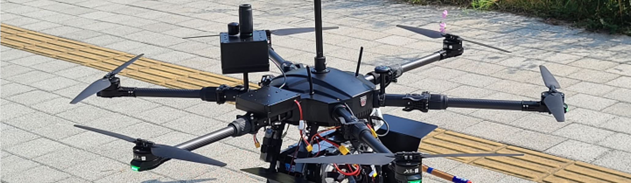
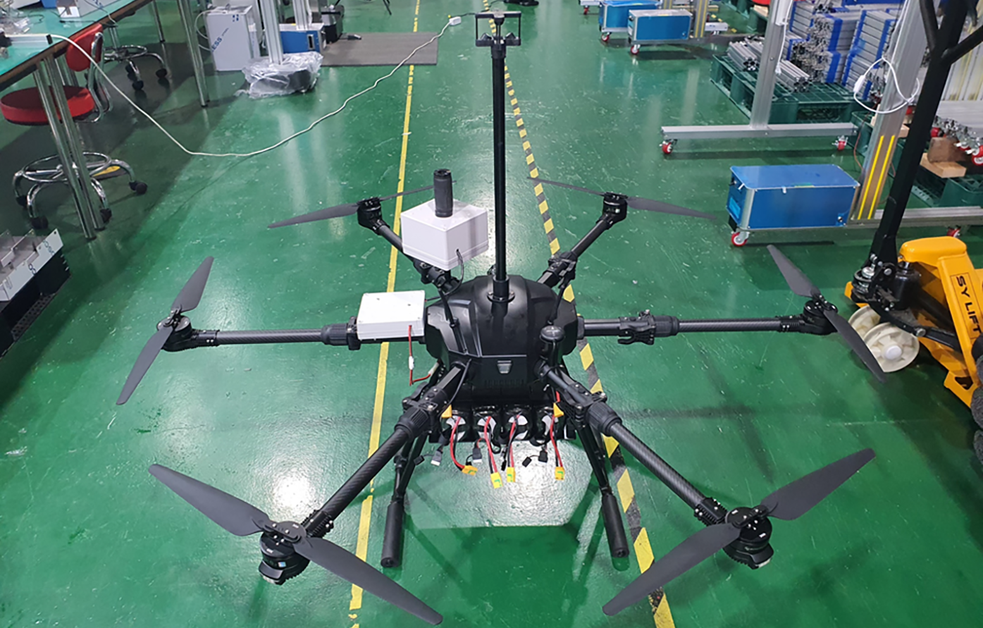
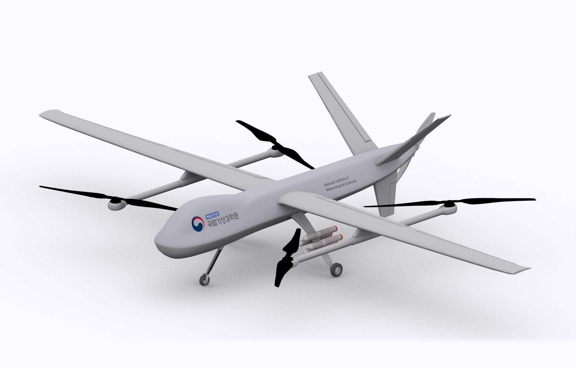
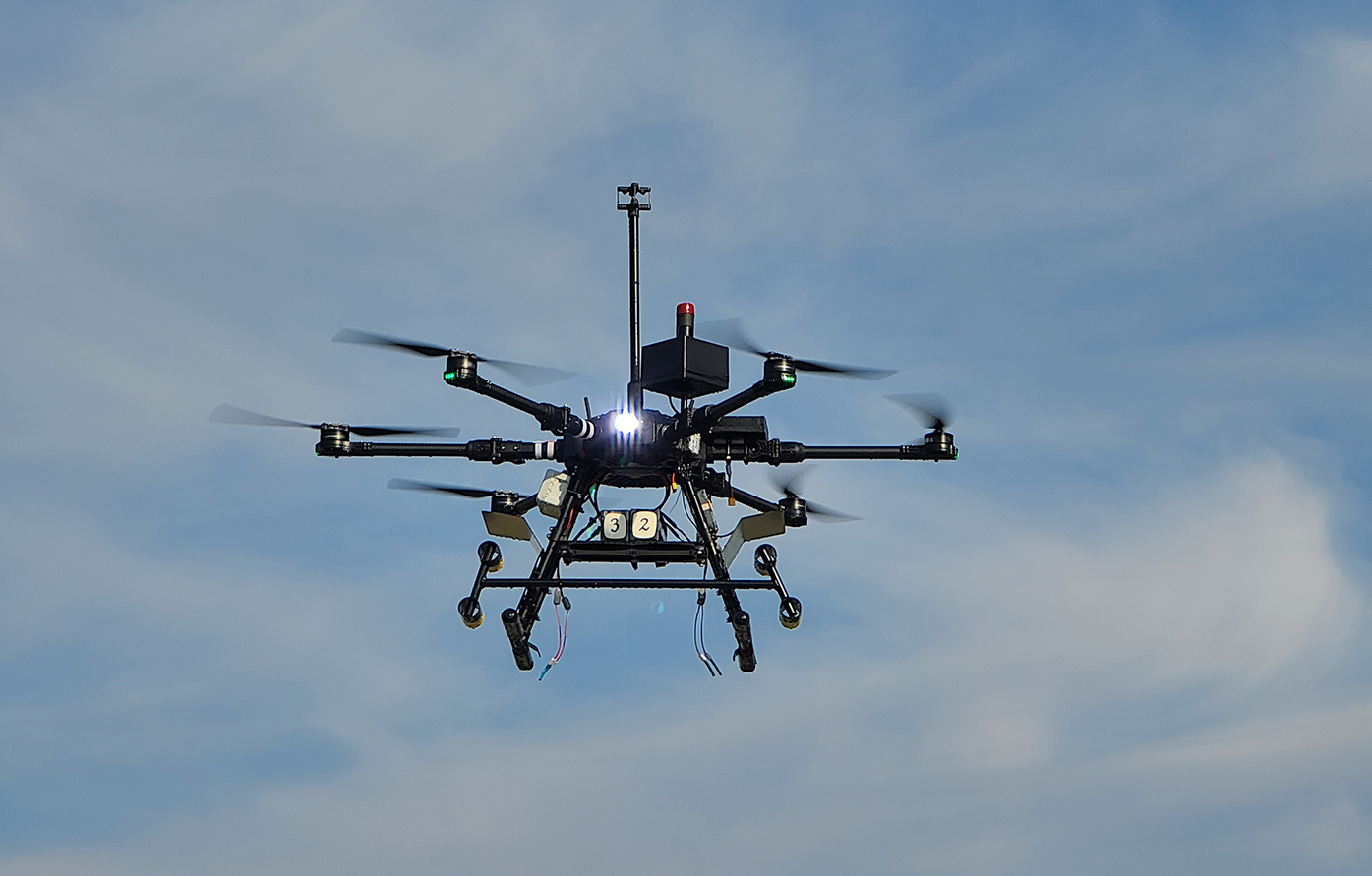
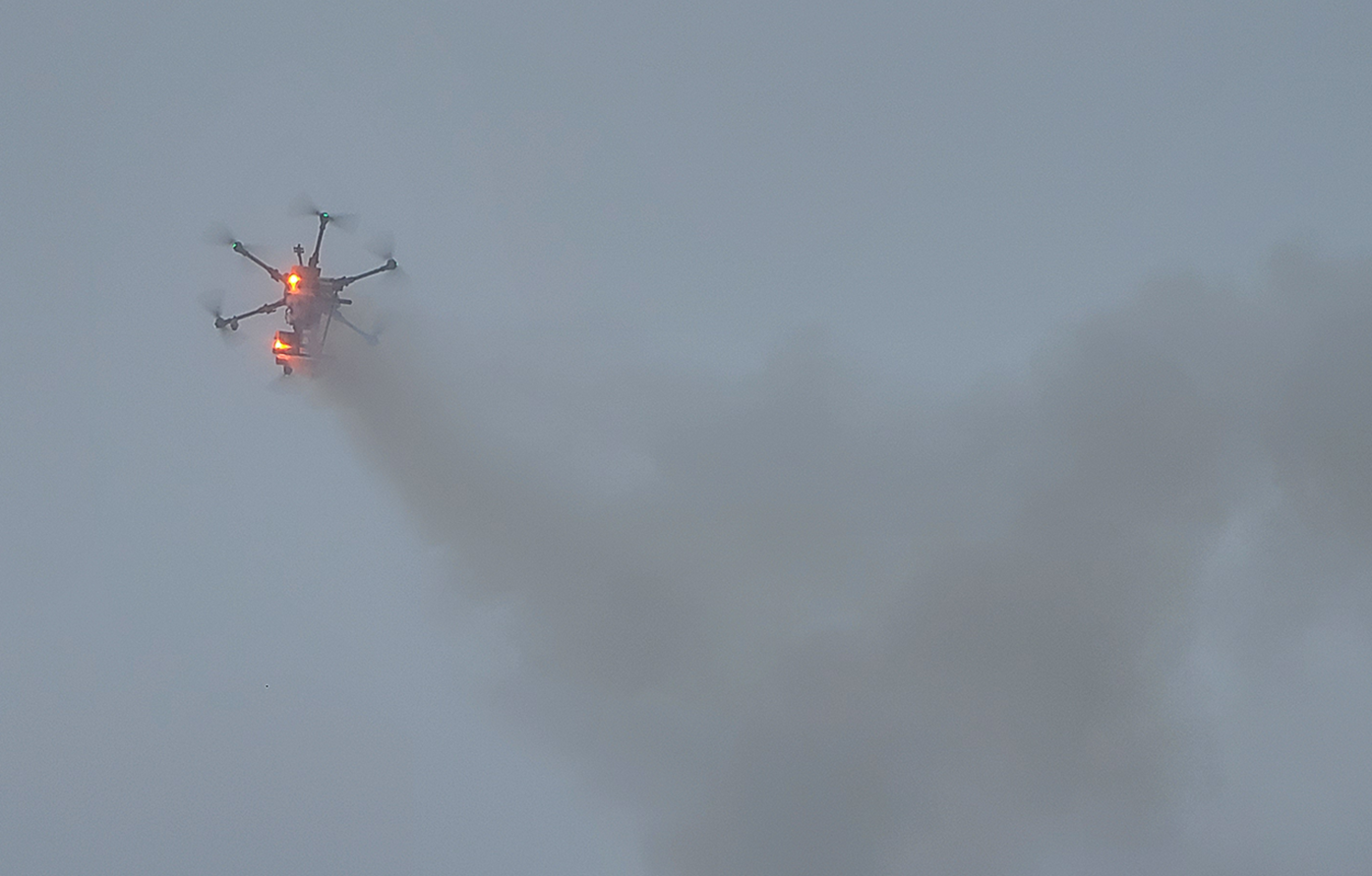
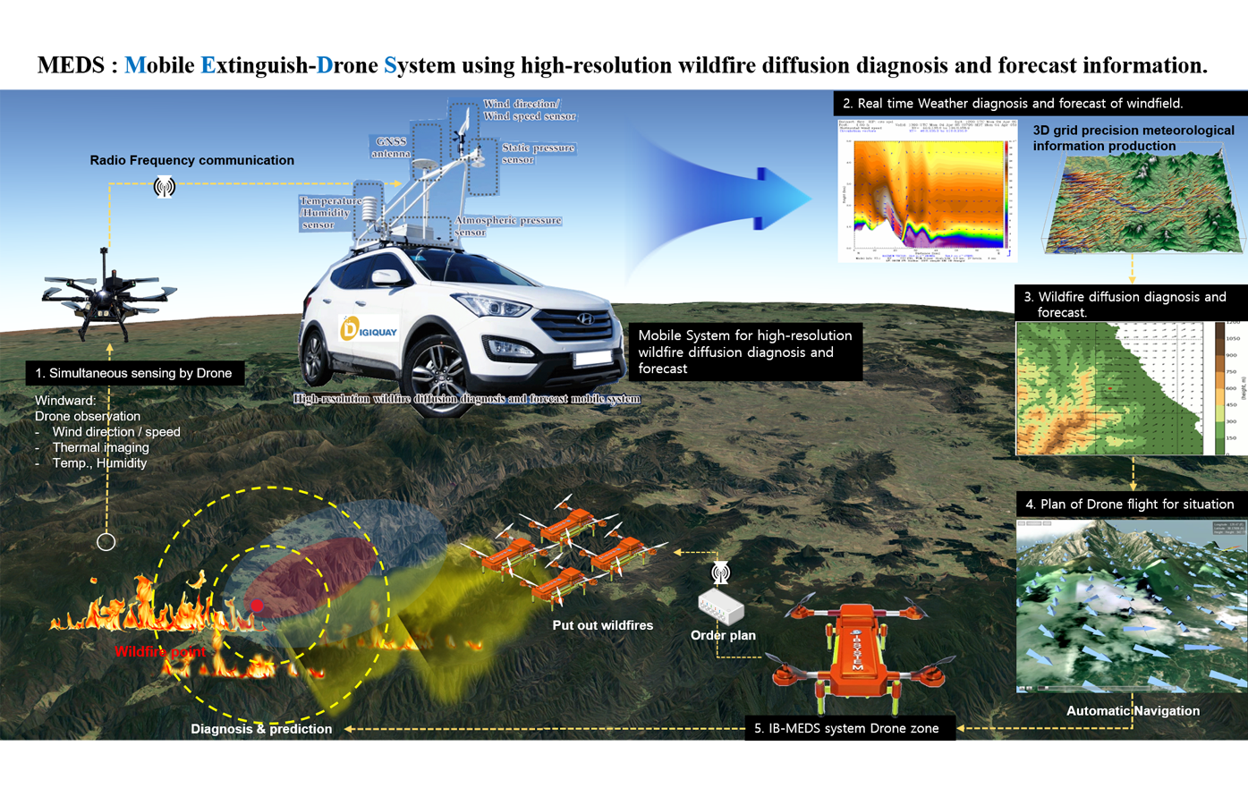
DIGIQUAY Co., Ltd. is a special mission drone that develops multicopter drones and vertical takeoff and landing drones and uses them to produce precise data and develop convergence solutions in the fields of environment, weather, marine, disaster, agriculture, and renewable energy.

  • It has observation, monitoring, and analysis technologies using self-made special mission drones
  • Possession of automatic navigation and real-time monitoring technology using RTK technology

Core Fields
/Possessed Technology

  • Fabrication and operation of multicopter and VTOL
  • Automatic flight and avoidance control technology
  • Drone Air Quality Observation and Monitoring
  • Observation and monitoring of air pollution : PM, O3, NO2, CO, SO2, VOCs
  • Hazardous Substance Analysis Technology : VOCs, CH4, CO, CI2, O2, NO2, H2S
  • Forest fire spread monitoring and prediction technology
  • Flood Occurrence Monitoring and Water Level Prediction Technology
  • Petrochemical Plant Gas Leak Monitoring : VOCs, CH4, H2S, SO2
  • Web, App, Platform dashboard deployment and visualization technologies
  • Production and operation of special purpose drones
  • Drone weather observation and monitoring
  • Wind field, temperature, humidity, air pressure, other Customized Parameters…
  • LTE-based real-time observation data monitoring technology
  • Web, App, Platform Dashboard Deployment and Visualization Technologies
  • Monitoring and observation of disasters (forest fires, floods, etc.)
  • LTE-based real-time observation data monitoring technology
  • Drone aerial photography, noise, light pollution observation and monitoring

Core business

UAV Operation

  • Multicopter drone production
  • Production of VTOL drones
  • Production of special purpose drones

Performing experiments and observations using UAV

  • RTK-based ultra-precise flight control
  • Mission accomplished using the automatic flight system
  • Real-time flight position monitoring

Development of technology for monitoring and predicting the spread of forest fires

  • Performing vertical weather observations with ultra-light sensors
  • Carrying out aerial photography with drone cameras
  • Performing experiments with special purpose experimental equipment

Development of technology for monitoring and predicting the spread of forest fires

  • Monitoring and Observation of the Early Wind and Downside of Forest Fire Areas
  • Real-time observation monitoring and A.I.-based diffusion path prediction technology
  • Mobile command vehicle operation and cloud-based real-time web monitoring and career prediction technology